
Viral Image Claims Gambian Military Barracks Attacked by Senegal is Partly in Senegal. Here’s What Our Fact-Check Found
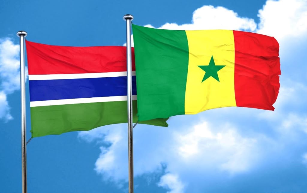
We analysed the viral TikTok image using two independent verification tools. We also performed satellite mapping on Google Earth. The results do not match what the satellite image purports to show about that location of Bullock military barracks.
Claim: A viral image shared on TikTok and Facebook shows a satellite image claiming that the Gambian military camp encroach into Senegalese territory.
Verdict: False. Findings show that the shared image is AI-generated and doesn’t depict the actual location of the military camp.
A TikTok user, @m.s19636, recently shared a satellite image, purporting to show that a portion of the Gambian military camp in Bullock, a village in Foni, cross into the territory of neighbouring Senegal. The post (archived here) came days after Senegalese forces bulldozed part of the camp’s perimeter fence, alleging that the facility encroached on their side of the border.
As of July 18, 2026, the post had accumulated 49,200 views, 1,556 likes, 158 shares, and 59 comments on Tiktok. The image has also appeared on Facebook here and here and on other TikTok accounts, here and here.
While many questioned the image’s authenticity, others believed it was true.
For example, one user, Kebbeh Gorel, called the map fake. “This is a fake line; there were borders before satellite or GPS,” he wrote in the comment section.
Lamin Ceesay, another user, wrote: “I am not convinced, because looking at the map border line is not straight, rather a snake-like shape, so stop confusing people.”
However, for @Romeo, the map accurately reflected how the Senegalese government had officially registered the location on Google Maps. “The same thing is happening in Kammamudu,” he said referring to a nearby settlement. “That village is registered in Senegal, not in Gambia. If you do certain map reading, it shows that you are in Senegal.”
We did independently verify @Romen’s claims.
Indeed, there was a recent escalation of the long-running border disputes between Senegal and The Gambia. On July 16, 2026, the Senegalese forces reportedly demolished more than 200 metres of perimeter fencing around a Gambian military post in Bulok. The tensions spilled onto social media.
Verification
Dubawa, an independent African fact-checking platform, in partnership with Malagen, factchecked the purported satellite image first shared by @m.s19636. In doing so, we have compared the viral image with the military post’s location at Bullock using Google Earth.
The viral image shows a compound labelled “military camp,” split by a line marked “Gambia” on the left side and “Senegal” on the right. This implied that half the camp sits in each country. In fact, the image was posted with the caption: “Satellite images are showing that the military barracks that was in Bullock has other parts in the Senegalese territory.”
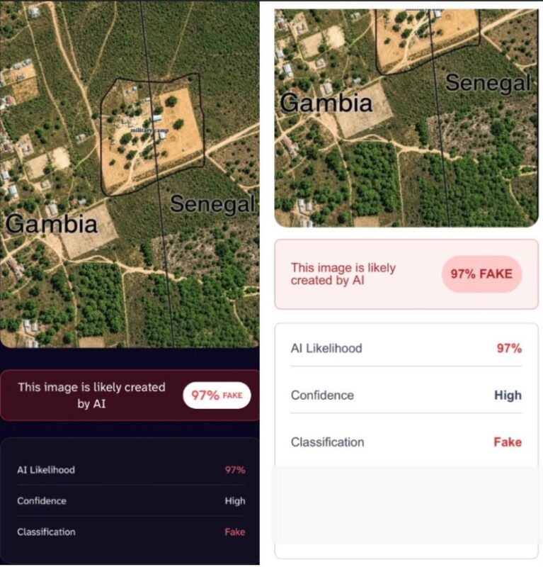
However, the imagery we found did not match the one circulated online.
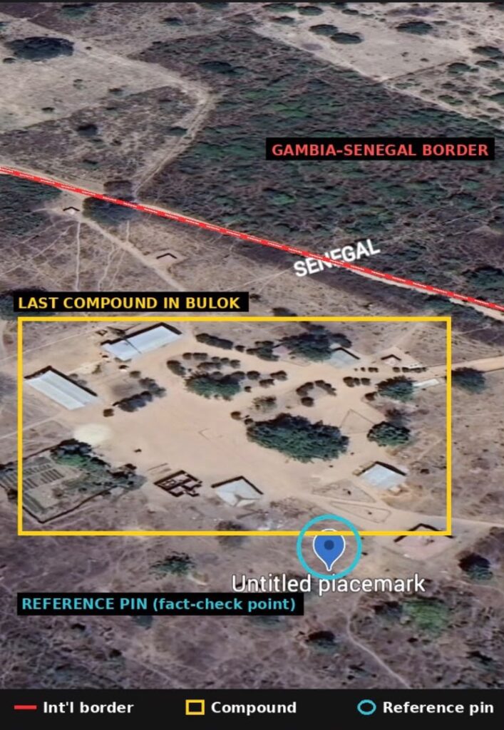
When we performed satellite mapping on Google Earth to identify the location in the satellite image, search results showed that it was a compound that sits entirely within Gambian territory. There is no label identifying it as a military installation.
We also analysed the circulated TikTok image using two A.I. verification tools. One of them, DeepAI, an artificial intelligence manipulation-detection tool, shows a 97 percent probability that the image was generated by Artificial Intelligence or A.I. The second one, ZeroGPT, also returned a 97 percent likelihood that the image was artificially generated.
Conclusion
Our findings is that the image is not from Google Earth and was fabricated using AI tools. The claim is, therefore, false.
This report was produced under the 2026 Kwame Karikari Fact-checking and OSINT Fellowship, co-hosted by DUBAWA and the Digital Technology, Artificial Intelligence, and Information Disorder Analysis Centre (DAIDAC), with support from the Centre for Journalism Innovation and Development (CJID).
